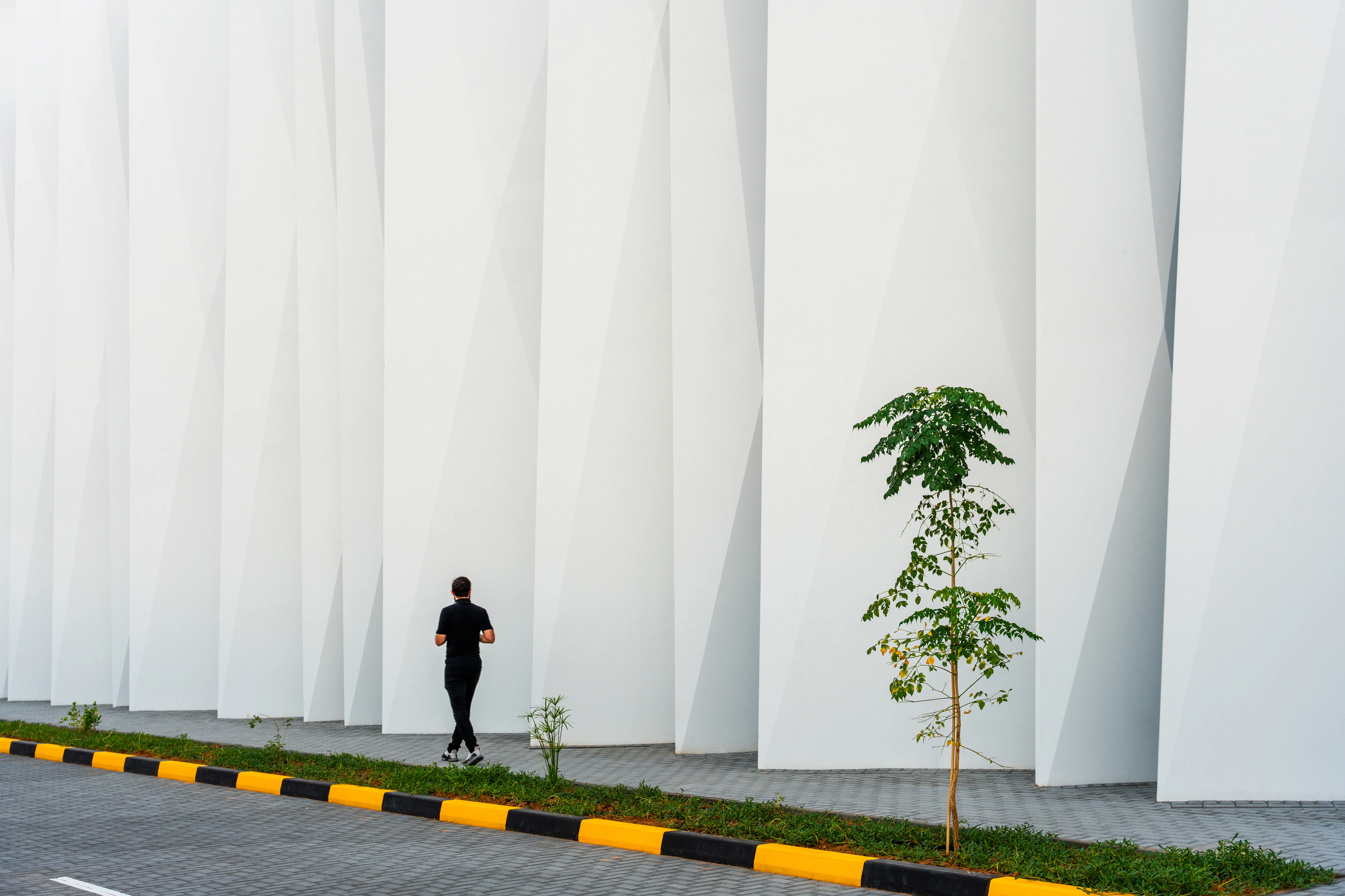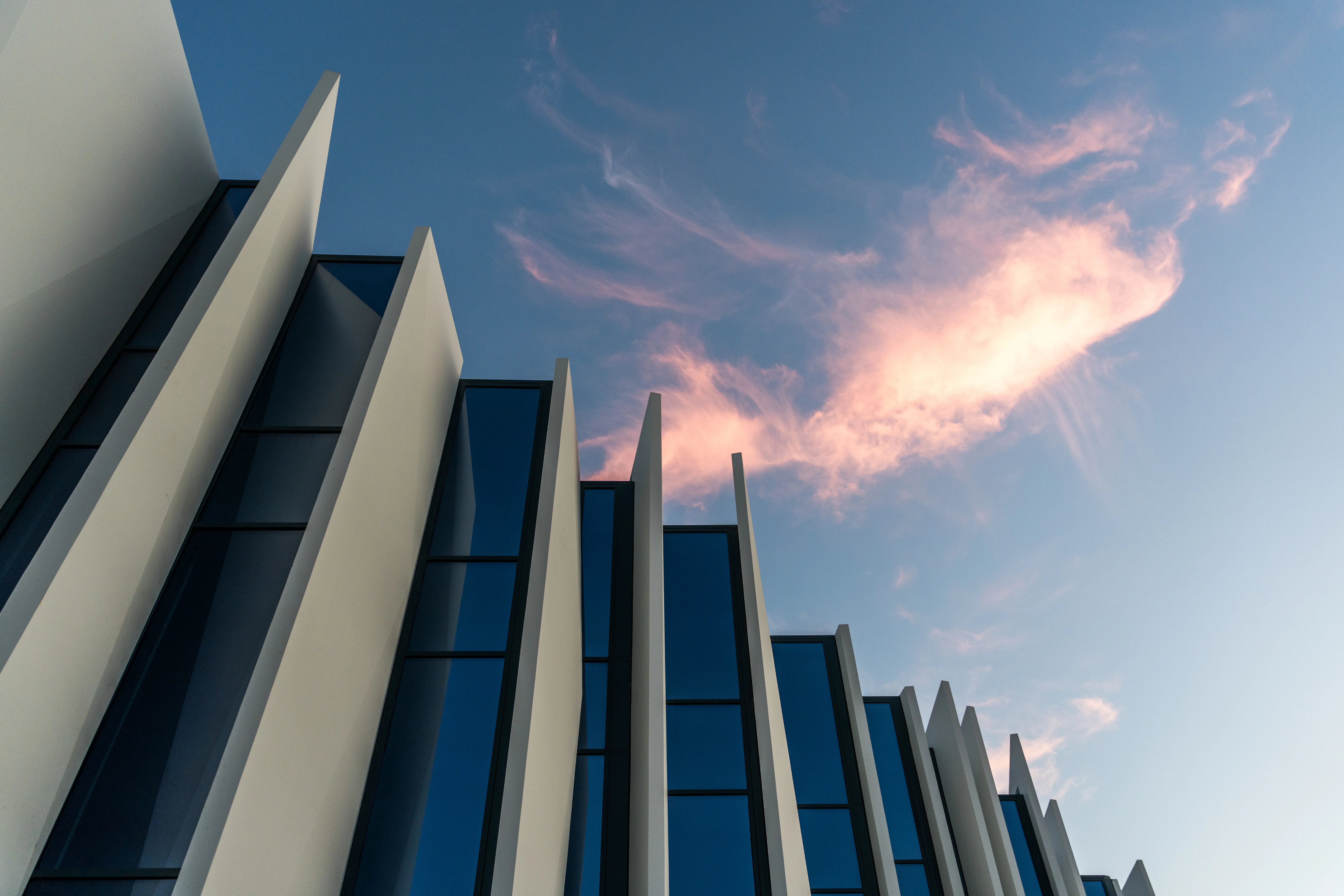
Aerial and drone photography in Abu Dhabi for developers, architects and institutions. Work in the emirate includes the Khazna Data Centre and AlTorath Engineering at Al Raha Beach. Permits are handled as part of the commission and aerial is planned alongside ground coverage rather than separately.
Infrastructure Reads From Above
The Khazna Data Centre is the clearest example of why aerial matters in Abu Dhabi. A data centre is a low, long, deliberately unglamorous building, and at ground level it photographs as a wall. From the air it becomes what it actually is: a piece of infrastructure sized against the site around it, with the plant, the security envelope and the expansion land all legible in one frame.
Aerial work in the emirate also includes AlTorath Engineering at Al Raha Beach, where the waterfront setting is the point of the project and only holds together in a frame wide enough to include it.
Abu Dhabi Is a Stricter Airspace Than It Looks
Abu Dhabi carries extensive controlled and restricted airspace, and a large share of the projects worth flying sit near something that complicates it: an airport approach, a government site, a corniche, a port. GCAA clearance is arranged in advance, and where a permit is not achievable the equivalent elevated position is identified during pre-production instead.
Aerial and ground are planned as one commission. On institutional work in particular that matters, because the aerial establishing frame and the detail at ground level end up in the same document and need to look like the same photographer made them.
Method
Flight planning happens before the shoot day: altitude, angle and time of day chosen for the specific building rather than decided in the air with the battery running down. Most aerial imagery fails because being airborne is treated as sufficient.
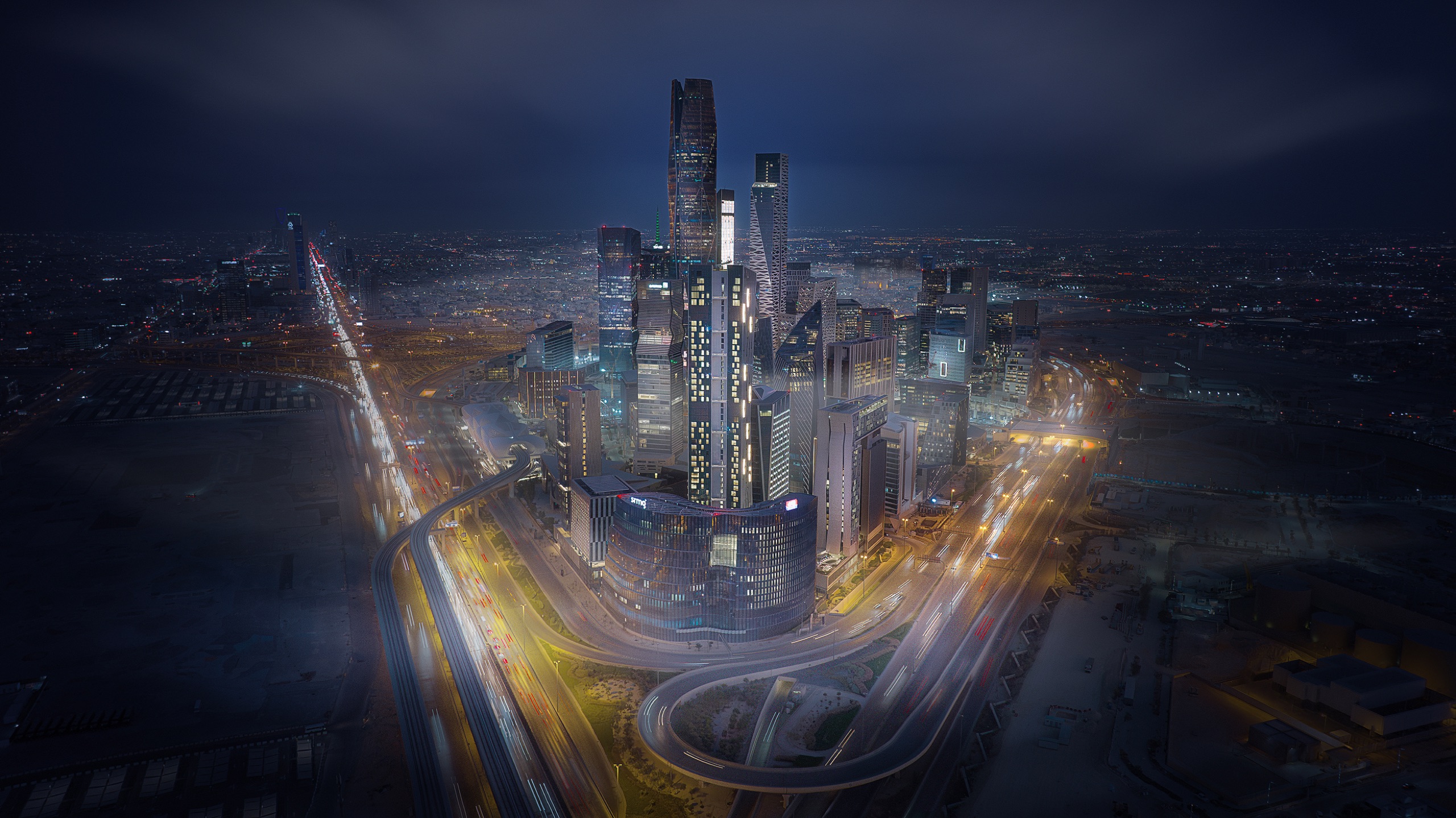
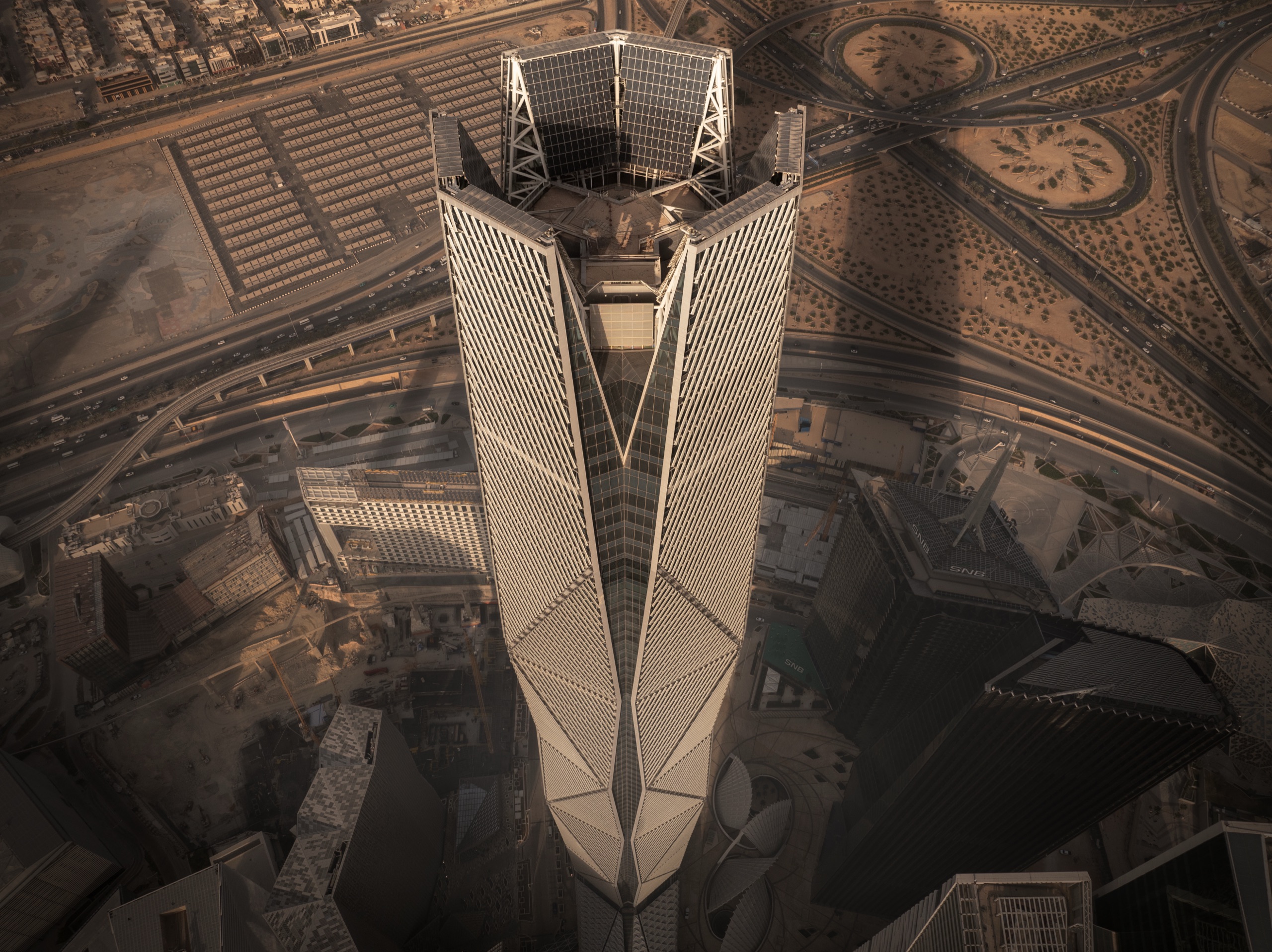
The same practice covers Dubai and architectural photography in Abu Dhabi, and across the border Riyadh, where the KAFD district aerials took 1st Place in Cityscapes at the International Photography Awards 2025.