Aerial and drone photography in Riyadh. The bulk of this work is King Abdullah Financial District, documented from the air across a year and three separate sessions, alongside retail and mixed-use aerials for Cenomi. Permits, flight planning and ground coverage are handled as one commission.
A Year Over KAFD
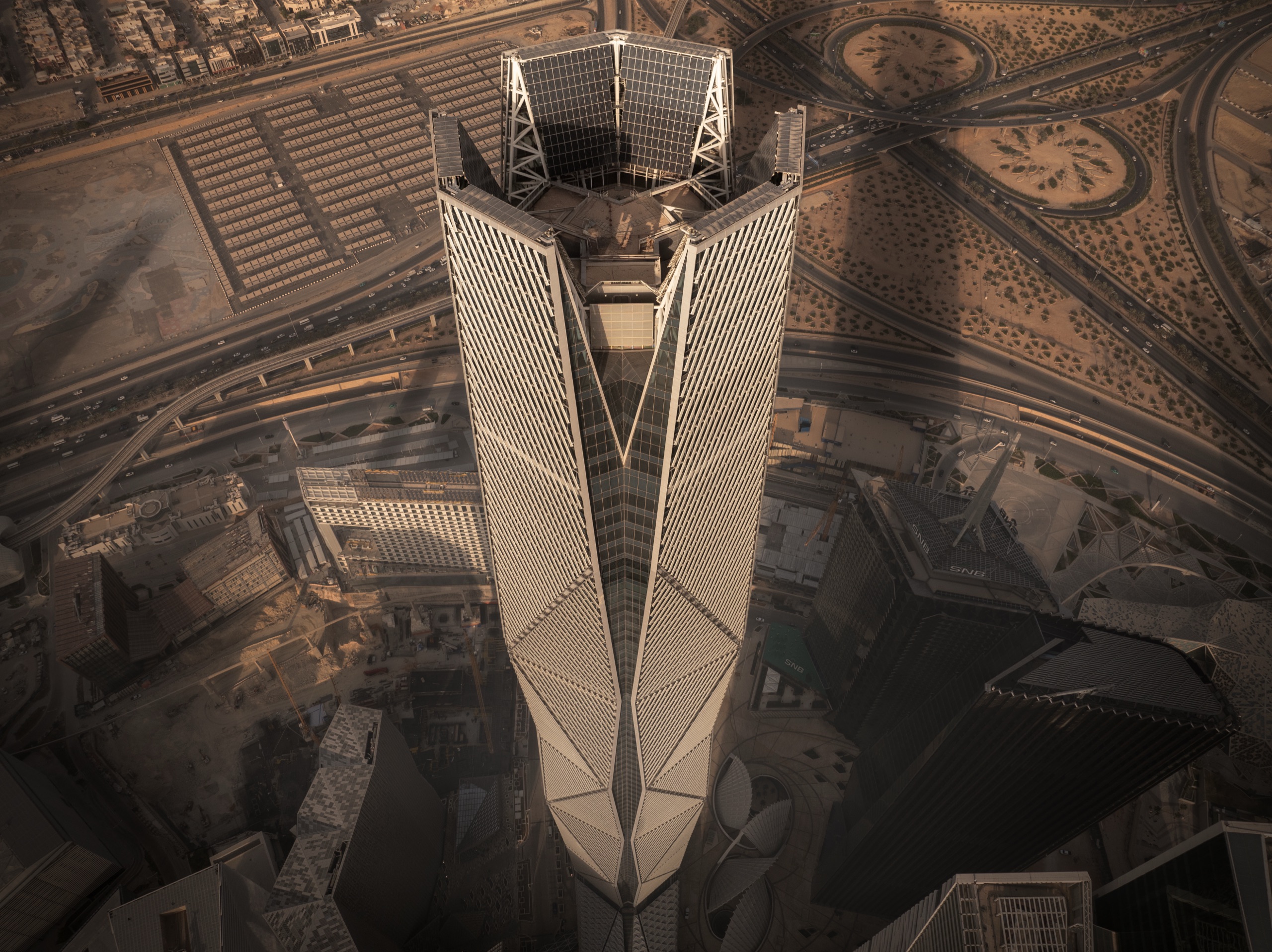
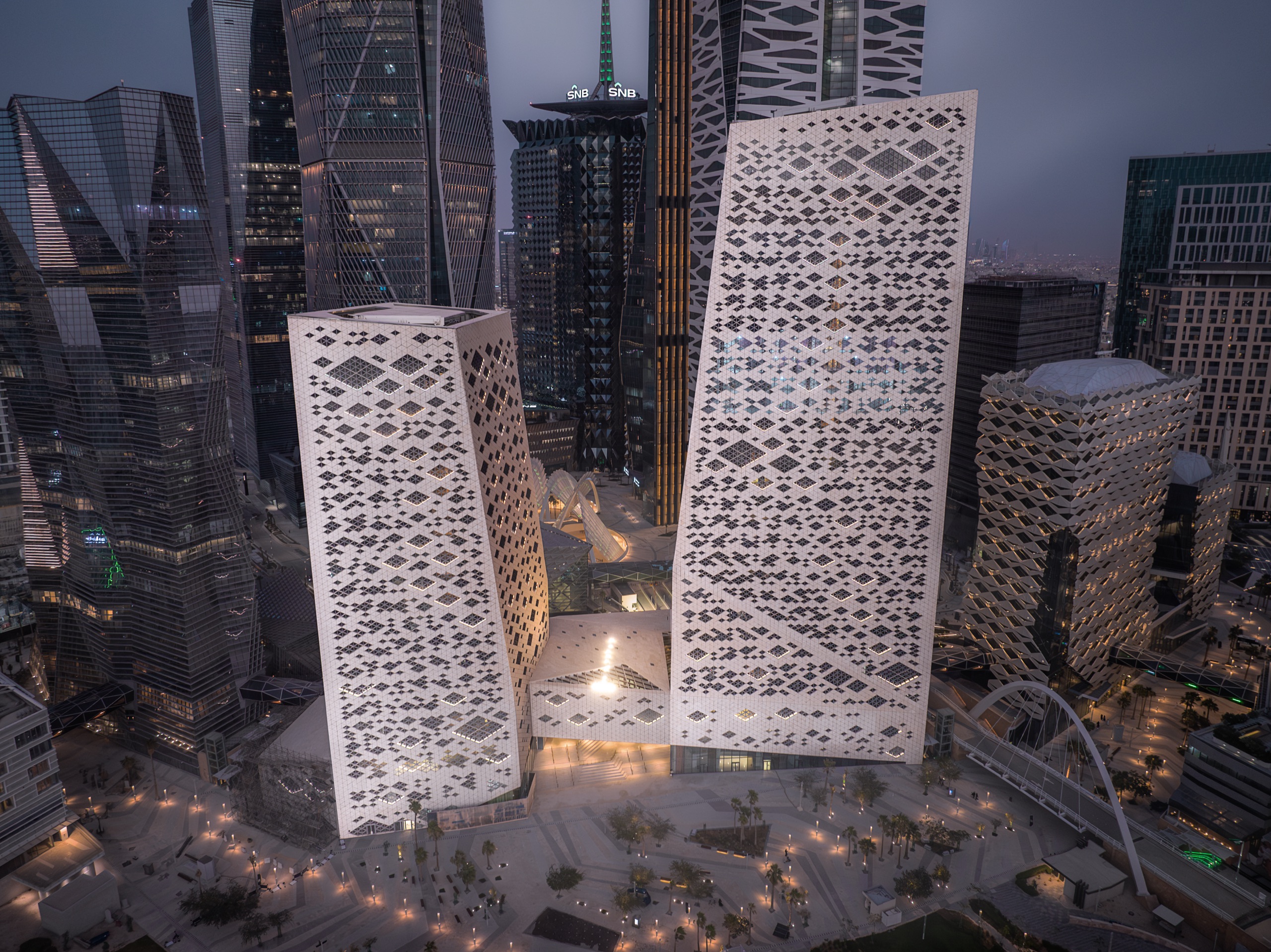
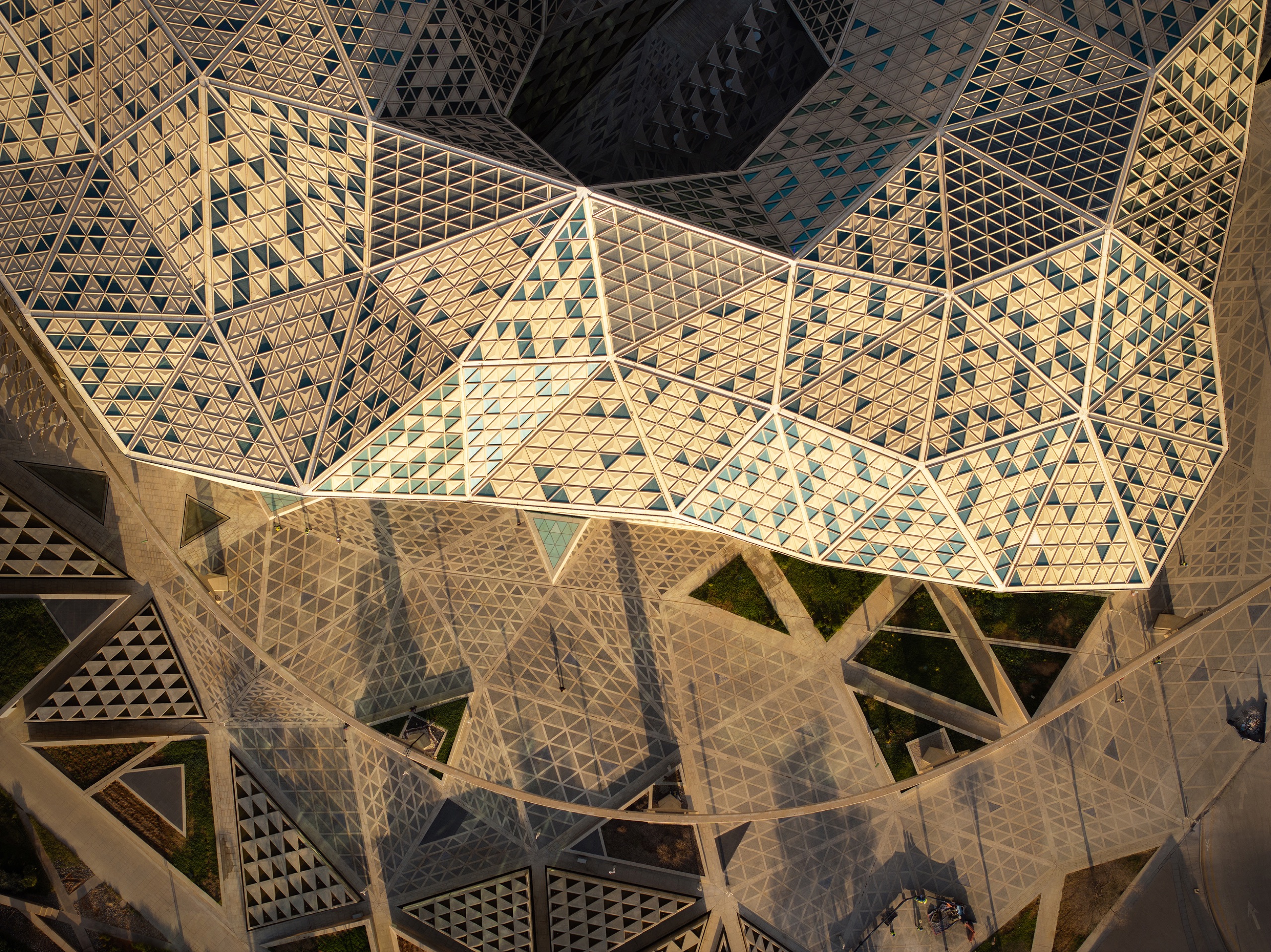
The largest aerial commission in this practice is King Abdullah Financial District: more than ninety buildings, returned to across three sessions and several seasons. The aerials are the part of that archive that does the most work, because a district built as a single masterplan is only legible from above.
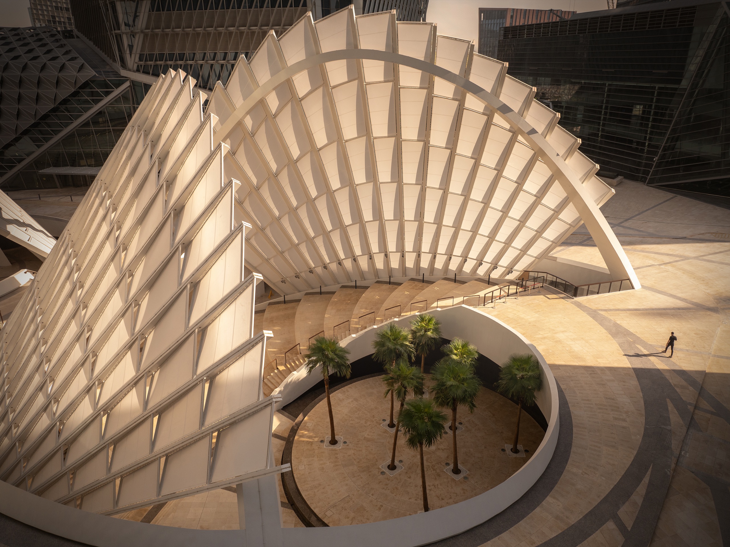
Named buildings covered from the air include the PIF Tower by HOK with Omrania, the SNB Head Office by Foster + Partners, whose diamond floor plan only resolves looking straight down, the Metro Station by Zaha Hadid Architects, the Conference and Exhibition Centre by SOM, and the folded canopies over the Financial Plaza by Henning Larsen.
The night aerial of the district skyline took 1st Place in Cityscapes at the International Photography Awards 2025. That frame is a Riyadh drone photograph, not a studio composite, and it is the clearest answer to what this page is offering.
Retail and Mixed Use From the Air
Beyond KAFD, aerial work in Riyadh includes U Walk and Al Nakheel Mall, shot for Cenomi as part of a programme that ran to thirty-two shooting days across the Kingdom, ground and aerial together.
Retail aerials are a different problem from a tower. The subject is the site rather than the building: how the parking, the approach roads and the entrances resolve, and whether the massing reads at dusk when the signage lights and the surface car park is still visible. Those are scheduled for the twenty minutes when both are true.
Clearance, Then Everything Else
Aerial operations in Saudi Arabia need GACA clearance, and Riyadh carries substantial controlled and restricted airspace. Permissions are arranged in advance as part of the commission rather than attempted on the day, and where a site cannot be cleared, elevated positions in neighbouring buildings are identified during pre-production and usually deliver the equivalent frame.
Aerial and ground work are planned as one commission rather than two hires, which is what keeps the set reading as a single body of work. The same applies to architectural photography in Riyadh generally.