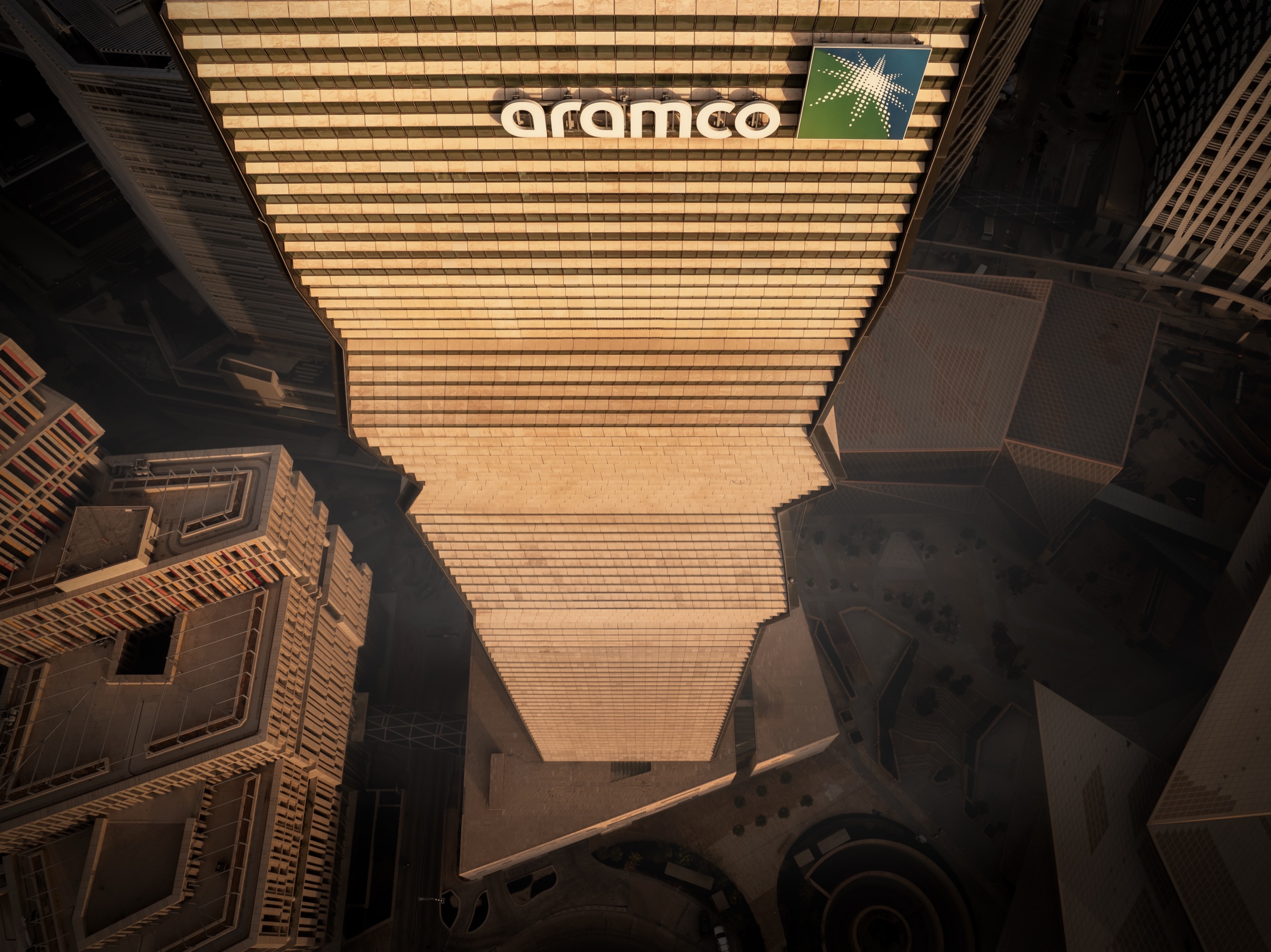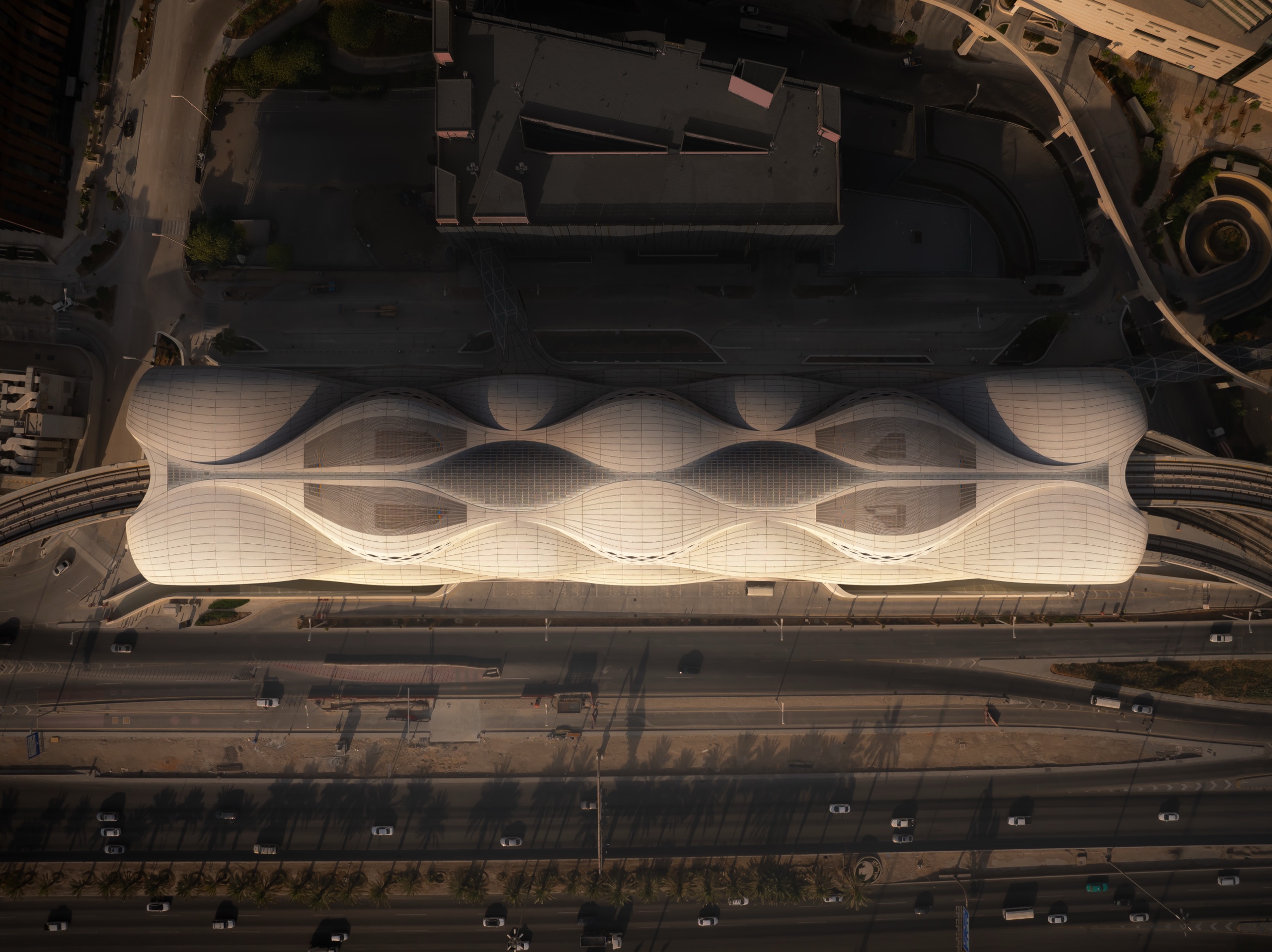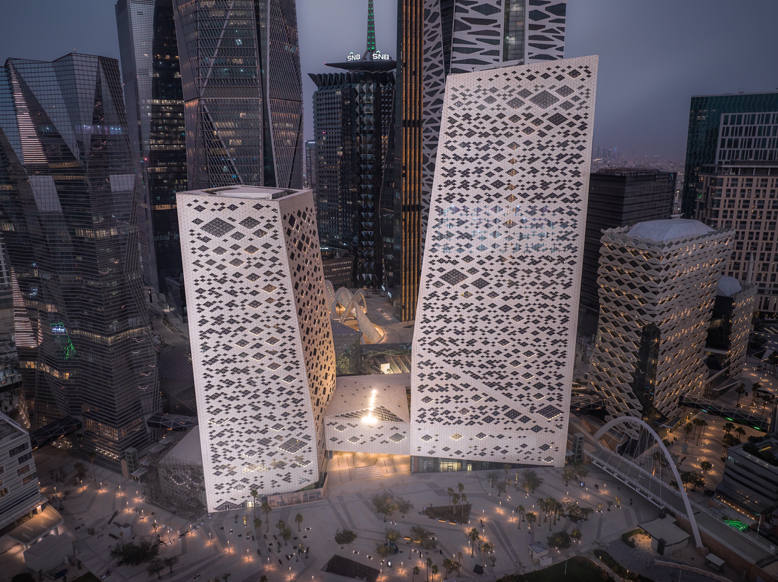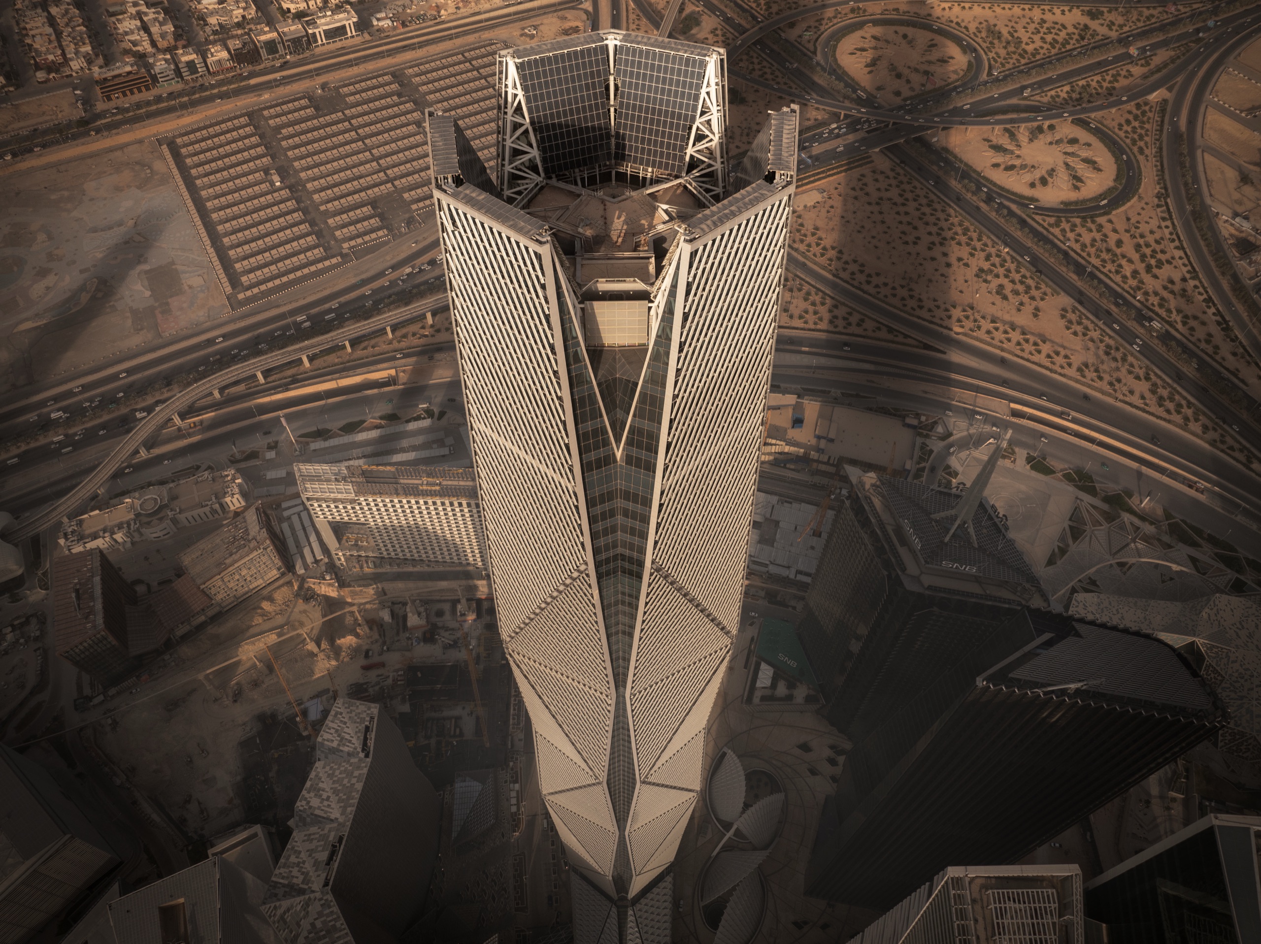
Aerial and drone photography in AlUla, as a drone photographer in AlUla for developers, architects, and institutions for developers, architects, and institutions. Clearance arranged in advance, frames planned rather than discovered, and aerial integrated with ground based work as a single commission.
Clearance Is the Commission
Aerial operations require civil aviation clearance, and AlUla carries controlled airspace that makes nothing about drone work here safe to assume. Approvals are site and date specific, arranged well ahead of the shoot rather than in the week before.
AlUla operates under heritage and environmental protection, so access, vehicles, and positions are coordinated through the relevant authority ahead of travel. Where clearance is not available for a location, elevated positions from neighbouring buildings or the terrain deliver the equivalent frame, secured during pre-production rather than improvised on the day.
Why AlUla Is Worth Flying
From the air, AlUla offers geometry that is invisible from the ground: masterplan logic, the relationship between a building and its setting, and the way resort and hospitality work set within a protected sandstone landscape resolves into pattern. Those are the frames worth the clearance.
Time of day matters more from the air, not less. Low sun gives the long shadows that turn a flat plan view into something with depth, and conditions are planned around clarity rather than convenience.
Method and Practicalities
Aerial and ground based work are planned as one commission rather than two hires, so the same eye and the same treatment run across the set and it reads as a single body of work. The aerial practice has been recognised at the New York City Drone Film Festival and featured in Feature Shoot's survey of drone photographers.
AlUla is a working commission base, travel included; the cool season from roughly November to March is the working window. Retouching is fine art realistic, and full commercial usage rights are included for the commissioning client.